About Smith Mountain Lake

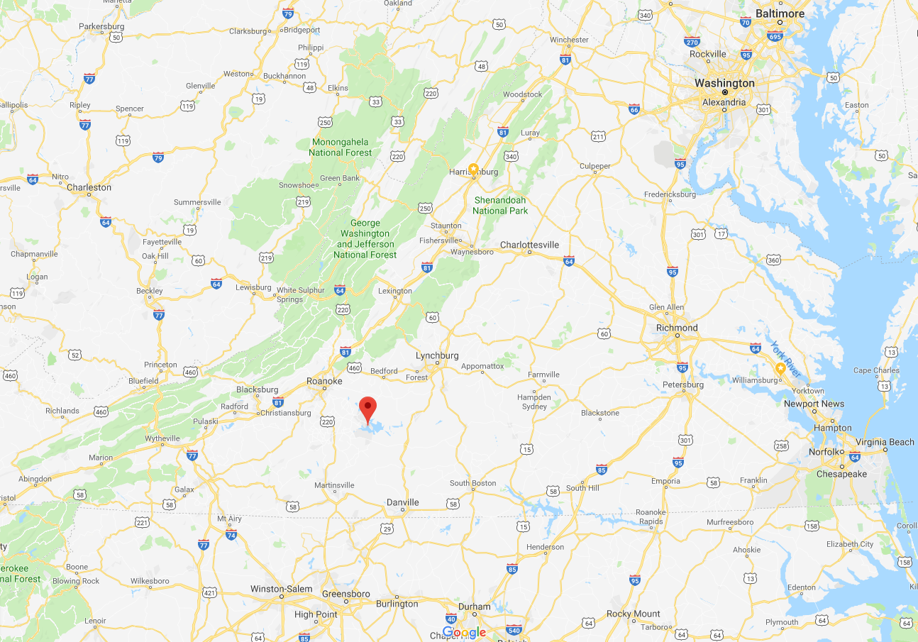
Located in southwest Virginia along the Blue Ridge Mountains, Smith Mountain Lake is equidistant from Roanoke and Lynchburg (approximately 45 minutes).
Temperate weather, a convenient East Coast location and a small-town atmosphere make Smith Mountain Lake an excellent place to live, work and play.
Read on for additional information, facts and figures on Smith Mountain Lake, the Jewel of the Blue Ridge. For even more details, order our free Smith Mountain Lake Newcomer & Visitor Guide or view it online.
Smith Mountain Lake Facts and Figures

Lake type: Reservoir
Coordinates: 37°02′28″N 79°32′
Surface area: 32 square miles
Total acreage: 20,600
Length: 40 miles
Average depth: 55 feet
Maximum depth: 250 feet
Water volume: 2,300,000 acre-foot
Shore length: 580 miles
Surface elevation (commonly referred to as "full pond"): 795 feet
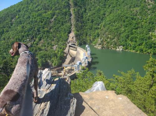
Smith Mountain Dam
Smith Mountain Dam spans 816 feet across the gap of Smith Mountain. It’s 235 feet tall and 30 feet thick at the base and houses five hydroelectric generators that can produce a combined 605 megawatts of power. Electricity is produced using pumped storage with Smith Mountain Lake serving as the upper reservoir and Leesville Lake as the lower one.
Where is Smith Mountain Lake?
Smith Mountain Lake is located southeast of Roanoke and southwest of Lynchburg, Virginia. Three scenic counties surround the lake - Bedford, Franklin and Pittsylvania.
We're convenient to a number of East Coast metro areas, including Greensboro, Raleigh, Richmond, Washington, D.C., Baltimore and Virginia Beach.
Get a Google map and directions.
View our Smith Mountain Lake Map.
What are the average temperatures at SML?
Winter: Air 47° F, Water 43° F
Spring: Air 69° F, Water 58° F
Summer: Air 87° F, Water 81° F
Fall: Air 69° F, Water 67° F
Where can I find out more?
Visit our Frequently Asked Questions page, Smith Mountain Lake History page, or click the button below to request a free copy of our annual Visitor Guide!


